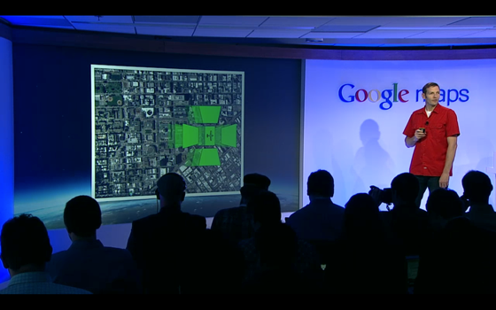
The next dimension of Google Maps. they uses automated technology to extract 3D from aerial images.
This is a big announcement was related to the display of 3D building in Google Earth. Google is using airplanes along with a Google-designated system to photograph cities and make a 3D map of buildings. This is awesome!
They would so called Google MapsGL, and Google says that MapsGL is coming soon to Android and iOS in your mobile. Once the new Maps go live, users can loop up a map and make a selection to go offline. The app will then tell you how much data that will take and you can download the map into your device.
For now, I'm not sure that 3D map will be available for city like KL. Maybe not for now, but one day it may comes to 3D view on KL city.

No comments:
Post a Comment